Polski
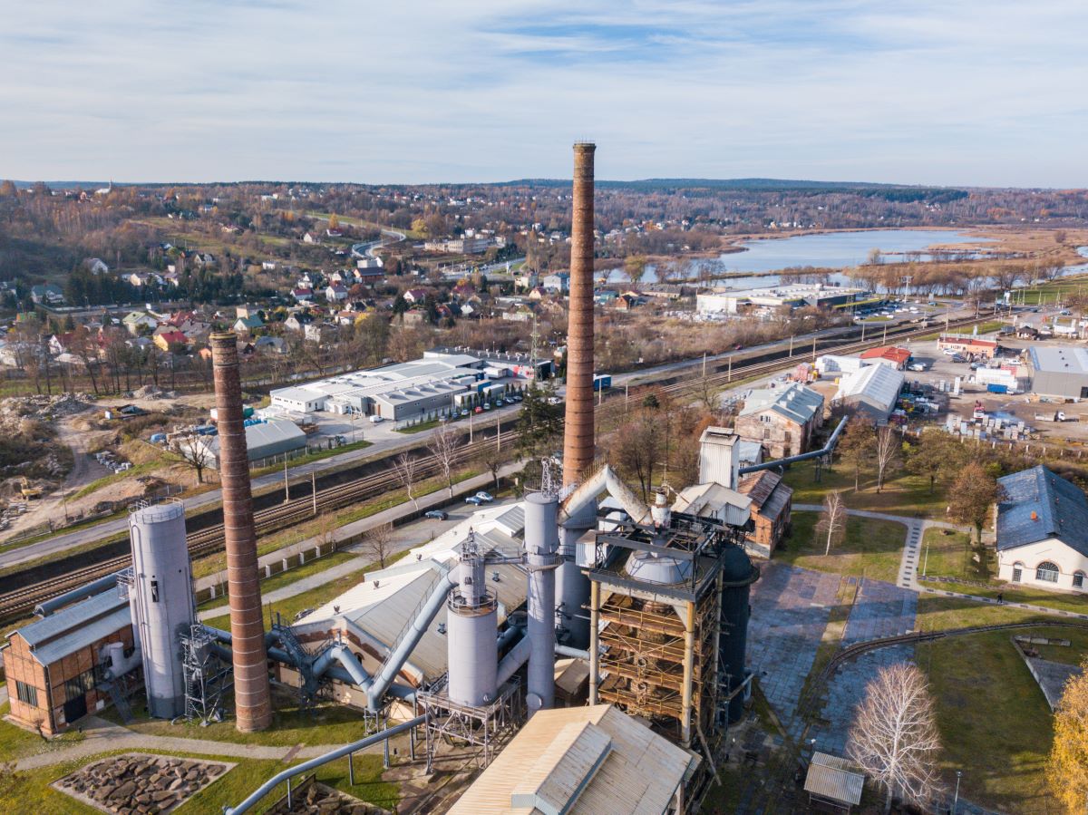
 Skarżysko-Kamienna MCK
  Ostrowiec Świętokrzyski ul. Kolejowa
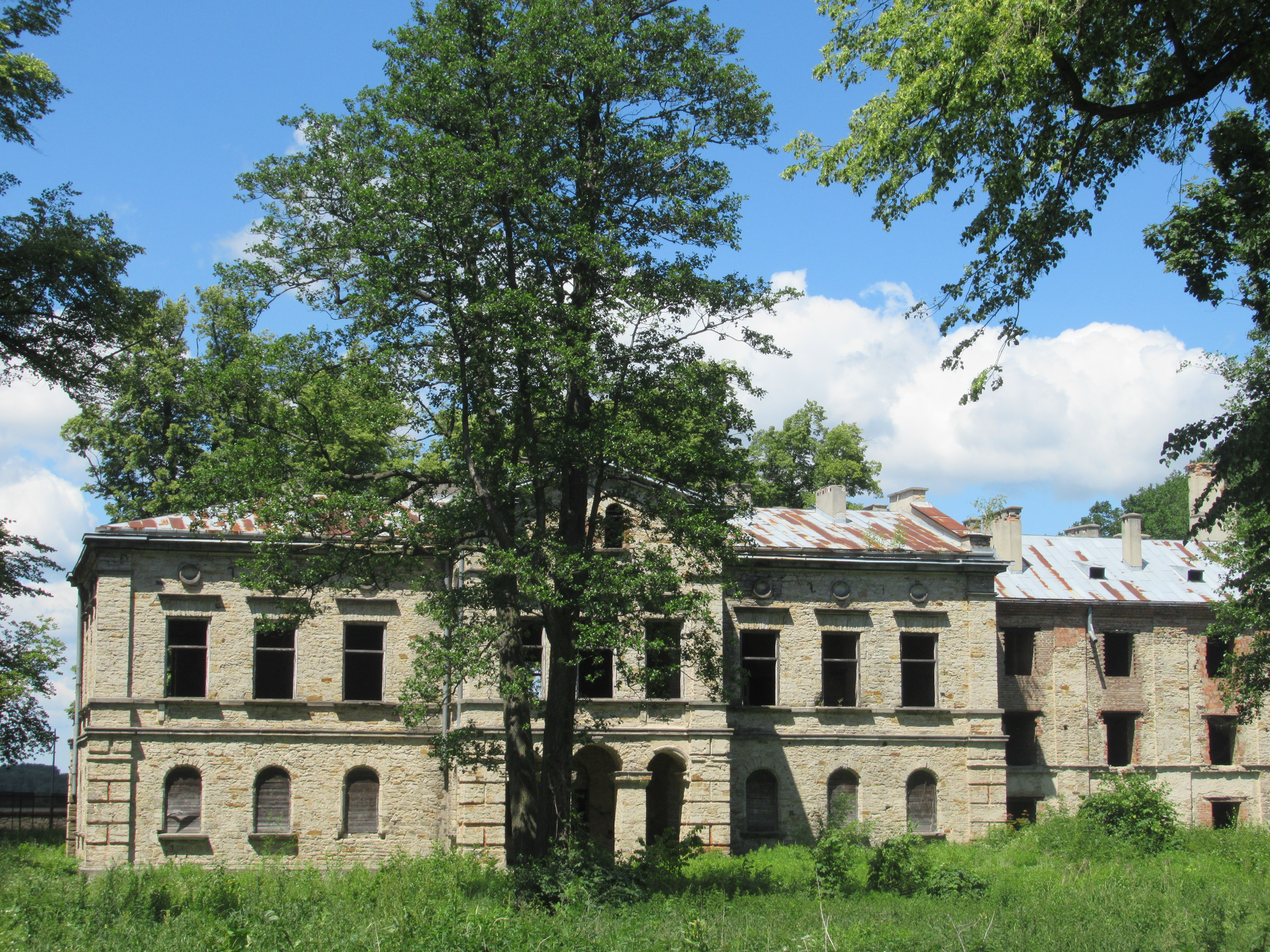
 The areas covered by the current Świętokrzyskie Voivodeship have centuries-old industrial traditions. Over the following centuries, many smelting and metallurgical plants operated here, where the river set the wheel in motion with its waters, driving the entire forge mechanism - bellows and hammer. This is how the Old Polish Industrial District was created, the greatest development of which dates back to the first half of the 19th century. He was associated with the activities of Stanisław Staszic. According to his concept, large industrial plants were to be built along the Kamienna River and its tributaries, creating the "Continuous Iron Factory Plant on Kamienna". At that time, many new furnaces, frying plants and rolling mills were built in the Old Polish Basin.
Over time, as a result of political decisions, the development of new iron smelting technologies and competition from Zagłębie Dąbrowskie, there was a slow decline of the plants located in the Old Polish Industrial District.
To this day, many remains of former industrial plants have been preserved, some of which are open to visitors in the form of museums.
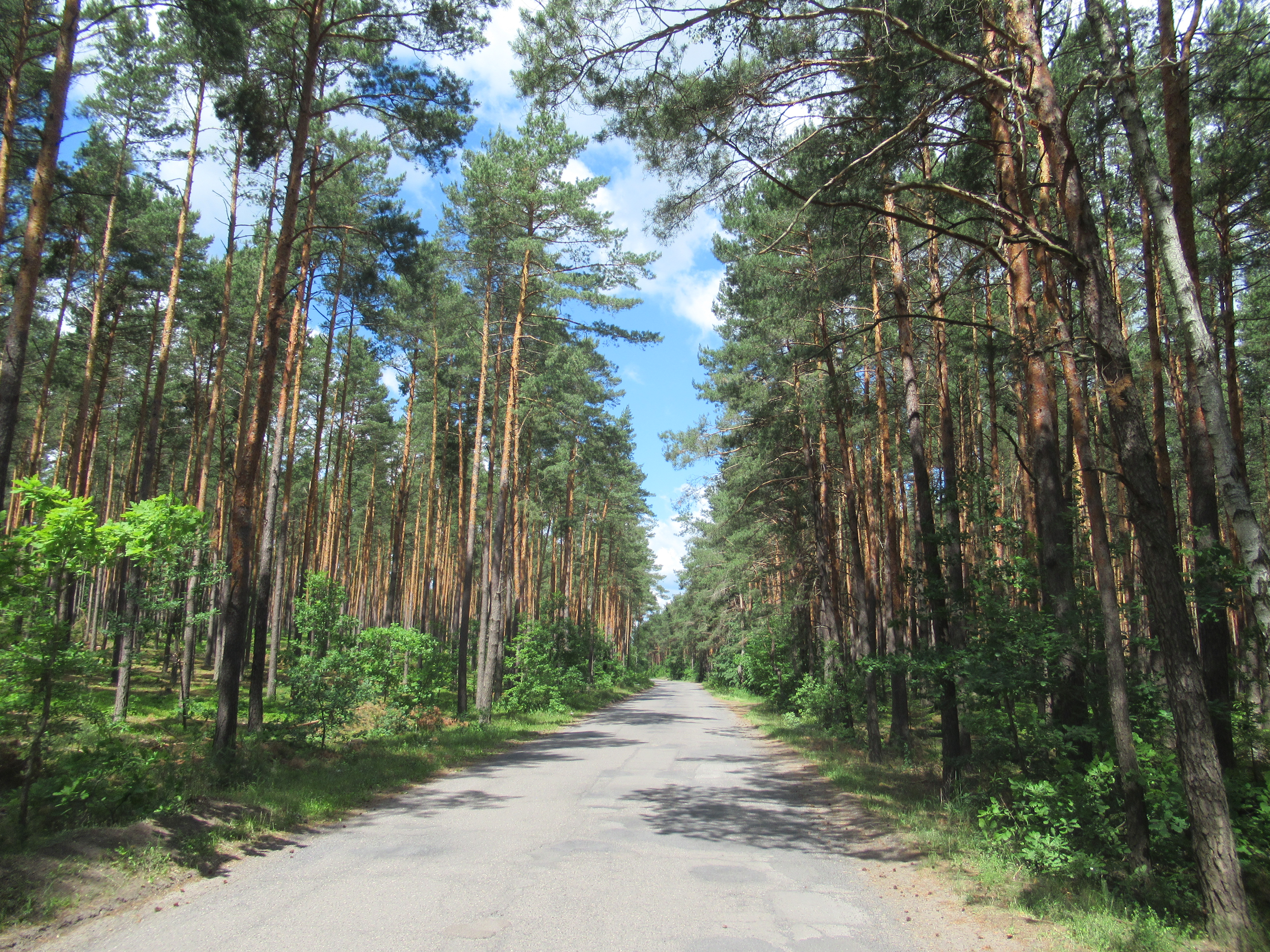
The trail runs mainly along asphalt roads with little traffic. With the exception of one driveway between Kałkowa, it leads through an area with a small difference in elevation. However, for people who are less physically fit, it is better to follow the trail towards Ostrowiec Świętokrzyski. This allows for a smaller level difference to be overcome.
Mileage [according to important towns and points on the trail]
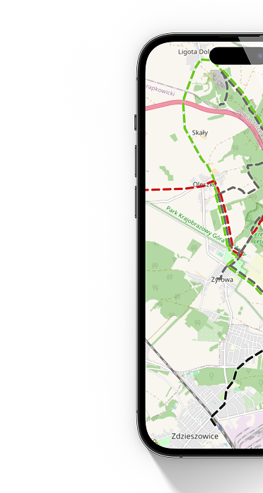
Skarżysko-Kamienna Al. Marshal Józef Piłsudski - Dam on the reservoir in Wąchock 12.7 km - Starachowice railway station 17.8 km - Railway station in Brody 36.2 - Sanctuary in Kałków-Godowo 44.6 km - Dam on the Wióry reservoir 46.3 km - Culvert water in Doły Biskupie 49 km – Ruins of the Rolling Mill in Nietulisko 51.6 km – Church of St. Stanisława in Kunów 55.7 km – Ostrowiec Świętokrzyski ul. Kolejowa 64.8 km
Description of the beginning and end of the trail
Due to the fact that the described trail is part of a longer bicycle route, it does not have the beginning and end of the trail marked. The beginning of the section of the trail in Skarżysko-Kamienna may be the intersection of Al. Marshal Józef Piłsudski from ul. November 11. The section of the trail ends near ul. Kolejowa in Ostrowiec Świętokrzyski.
Way of marking the trail
In places where the signs appear, the trail has been marked in accordance with the Instructions for marking tourist trails of the Polish Tourist and Sightseeing Society, i.e. on a white background with a bicycle symbol and a guide sign in the color corresponding to the trail (blue).
Surface
Asphalt road – 57.3km/89%
Cobblestone road – 4km/6%
Gravel road – 2.25km/3.5%
Dirt road – 1km/1.5%
Concrete road – 0.25km/0.5%
In Starachowice and Ostrowiec Świętokrzyski, several sections of the trail can be ridden on a bicycle path instead of asphalt roads.
Trail administrator
Section Skarżysko-Kamienna – Wąchock
Municipal Branch of PTTK in Skarżysko-Kamienna
Section Wąchock – Kałków-Godów
PTTK Interschool Branch in Starachowice
Section Kałków-Godów – Ostrowiec Świętokrzyski
Historical and Tourist Center in Ostrowiec Świętokrzyski
(formerly Radwan Branch of PTTK in Ostrowiec Świętokrzyski)