Polski
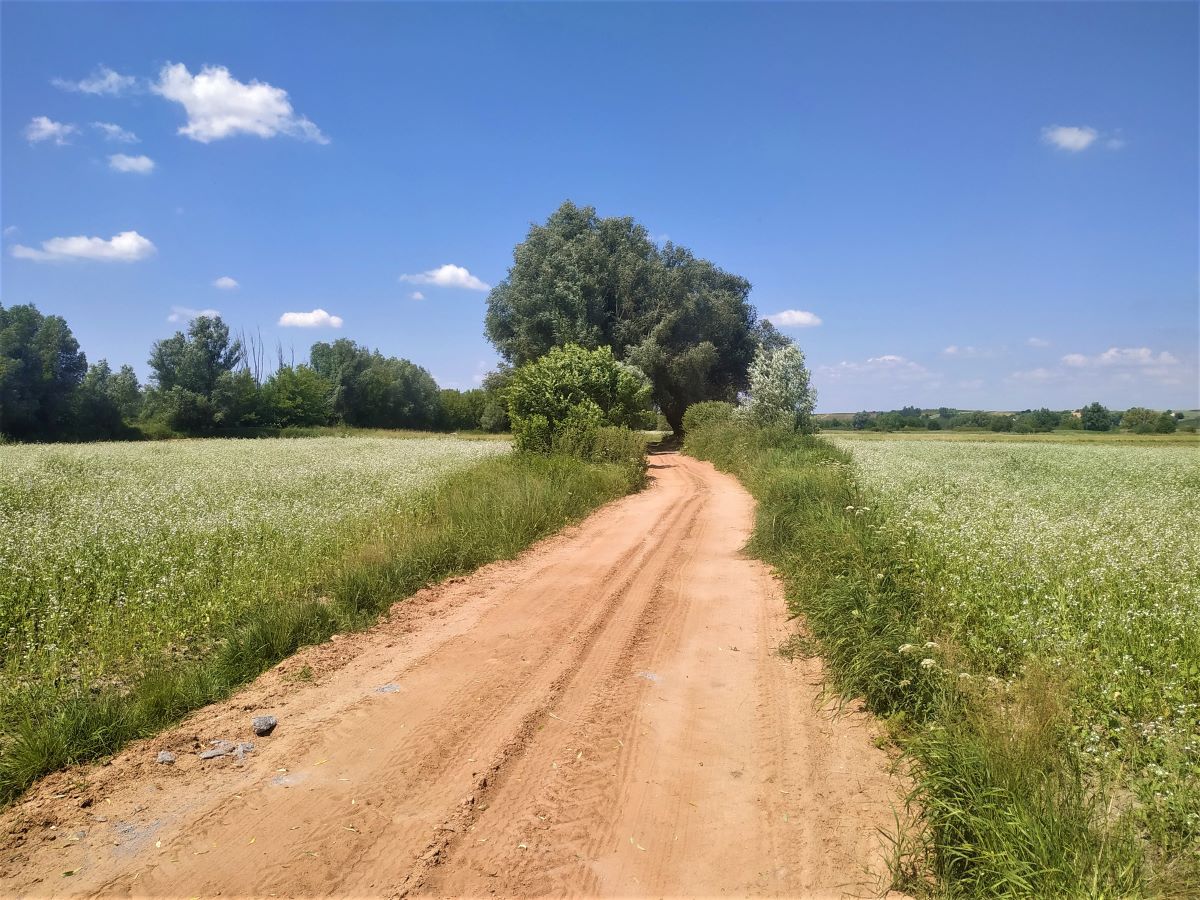
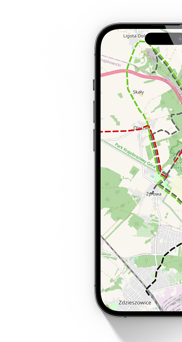
 Gołoszyce PKS
  Dwikozy BUS
 The trail is very picturesque. It runs along local roads (mainly asphalt) through agricultural areas. This area is highly undulating, so there are numerous approaches. However, this effort is compensated by beautiful panoramas of the area. In particular, on the section from Gołoszyce to Opatów, the trail offers extensive views of the Holy Cross and the Jeleniowskie Range.
It is worth taking a longer break in Opatów, because it is a city with an interesting and long history recorded in numerous monuments. The most valuable of them is the Romanesque collegiate church Saint Marcin. A unique element of the temple is the so-called Opatowski's Lament, a long, engraved and bas-relief plate founded in 1536 by Grand Hetman of the Crown Jan Tarnowski, husband of Zofia, the eldest daughter of Grand Chancellor of the Crown Krzysztof Szydłowiecki. It shows 41 people grieving the news of the chancellor's death, including: king Sigismund the Old, founder of the collegiate church Jan Tarnowski and bishop Piotr Tomicki.
Also noteworthy are the Warsaw Gate, the underground tourist route, the market square and the Renaissance town hall. In the city there is a confectionery shop called "U Szrego", famous for its traditional rose-filled donuts, a member of the Świętokrzyskie Culinary Heritage Network and the Świętokrzyskie Kuźnia Smaków trail.
Beyond Opatów, the trail runs along field and asphalt roads along the Opatówka riverbed. Along the way you can come across wild birds: pheasants, partridges, hawks.
The trail crosses sunny hills many times, which are favorable for growing vines. There are three vineyards in the area, including one directly on the trail (Terra Vineyard). When passing through the village of Karwów, it is worth turning 1 km away from the trail to follow the information boards to the chapel and spring of Blessed Wincenty Kadłubek. This outstanding chronicler of Polish history, sometimes referred to as the "father of Polish culture", was born around 1150 in Karwów.
In Dobrocice, which we pass on the way, in 1895 Stanisław Młodozeniec was born - a poet and co-founder of futurism, as indicated by the monument in the center of the village.
In the final phase, the trail enters the backwoods of the Sandomierska Valley, dotted with numerous fruit orchards. The trail ends at the bus stop in Dwikozy, at the foot of the parish church.
The trail starts at the bus stop in Gołoszyce and ends in Dwikozy - also next to the bus stop. Both the beginning and the end of the trail are not marked in accordance with the PTTK Tourist Trail Marking Instructions, i.e. a white dot with a circle whose color corresponds to the color of the trail (blue).
Mileage according to the most important towns and points on the trail
Gołoszyce, bus station in Opatów, Collegiate Church of St. Saint Martin in Opatów 13.5 km - Chapel and spring of Wincenty Kadłubek in Karwów 21 km - Church in Malice Kościelne 23.5 km - Pielaszów 27 km - Dacharzów 34.5 km - Nowe Kichary 43 km - Bus stop in Dwikozy 48.1 km
Trail manager
Oddział PTTK im. Aleksandra Patkowskiego w Sandomierzu
tel. 509 554 218
e-mail: marzena.m@pttk-sandomierz.pl
Labeling status
Good*.
In Gołoszyce, there is no marking of the beginning/end of the trail in accordance with the Instructions for marking tourist trails of the Polish Tourist and Sightseeing Society, i.e. a white dot with a circle whose color corresponds to the color of the trail (red).
The border between the Świętokrzyskie and Lublin Voivodeships runs on the bridge over the Vistula and only here you can see the first signs of the trail leading towards Sandomierz.
The section of the trail between the bridge over the Vistula in Annopol and Zawichost runs along a flood embankment. Due to the limited possibility of placing signs on this section (no trees, power poles), the route is not entirely clear to tourists, especially since there are roads on both sides of the embankment that often branch off.
At the top of the hill between the towns of Czermin and Słupcza (the edge of the forest), a sign does not precisely indicate the direction of the march. Following the signs, we will wrongly follow the Łódź Kaliska - Dębica railway line. This route is consistent with most publicly available tourist maps.
Before Koprzywnica, between the provincial road No. 758 and the national road No. 79, the trail runs through overgrown field roads and a ravine. The section of the trail for people going to the Koprzywnica side may be difficult to navigate because there are several unmarked road junctions on the route.
Entering the "Góry Pieprzowe" reserve from the town of Kamień Łukawski, at some point the trail turns sharply to the right and climbs the ridge of the hill. The turn is unmarked and the path is overgrown in spring and summer. If the passage through the bushes is not trampled at the moment, the intersection will be invisible to a person hiking the trail.
The traverse of the Pepper Mountains ridge may be dangerous in certain circumstances. The first section of the trail is secured with wooden posts to which ropes are attached, separating the route from the slope. These protections enable you to overcome steep descents and ascents. After some time, the ropes end and the route leads along a cliff at the foot of which there is a small reservoir. The path is very narrow, so even a slight loss of balance can cause a slide. The trail is also intersected with short but extremely steep descents and ascents. At times you need protection to maintain your balance. This section of the trail is very dangerous and practically impassable after rain.
In Sandomierz, at the end of Przemysłowa Street, the trail enters the flood embankment running along Działkowcy Street. A short distance from this place (closer to the Vistula) there is another embankment. Both places were marked in a misleading way (double signs). Although both embankments connect after approximately 1.5 km of walking, for tourists hiking towards the Pieprzowe Mountains, such trail markings create problems with choosing the appropriate crossing option.
Signposts have been placed along the trail to aid orientation on the route. Unfortunately, information on the distances between intermediate points is out of date, so it is advisable to replace these infrastructure elements.
The trail before Ujazd crosses the Koprzywianka River. A makeshift crossing has been organized in this place, consisting of two not very stable power poles mounted on both sides of the river.
- very good signage (marking complete, in good technical condition, enabling the entire route to be traversed without a map),
- good signage (marking is mostly complete, in good technical condition, minor marking deficiencies, use of the map only in unmarked and questionable places),
- sufficient markings (lack of markings on longer sections, many unmarked intersections, the use of a map is required to follow the trail),
- poor marking (marking very sporadic, at large distances, in poor condition),
- bad markings (single markings on the trail, practically no markings).
*As of: January 1, 2022