Polski
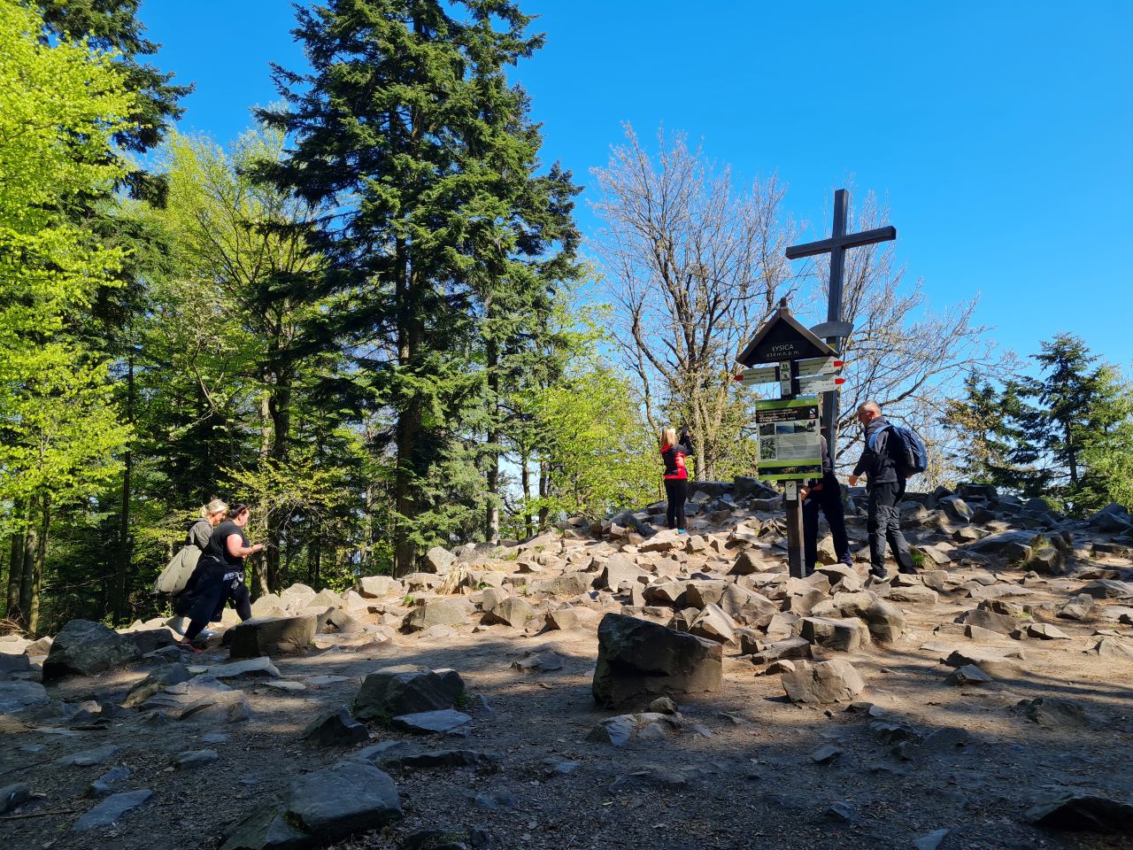
distance (km)
altitude m a.s.l.
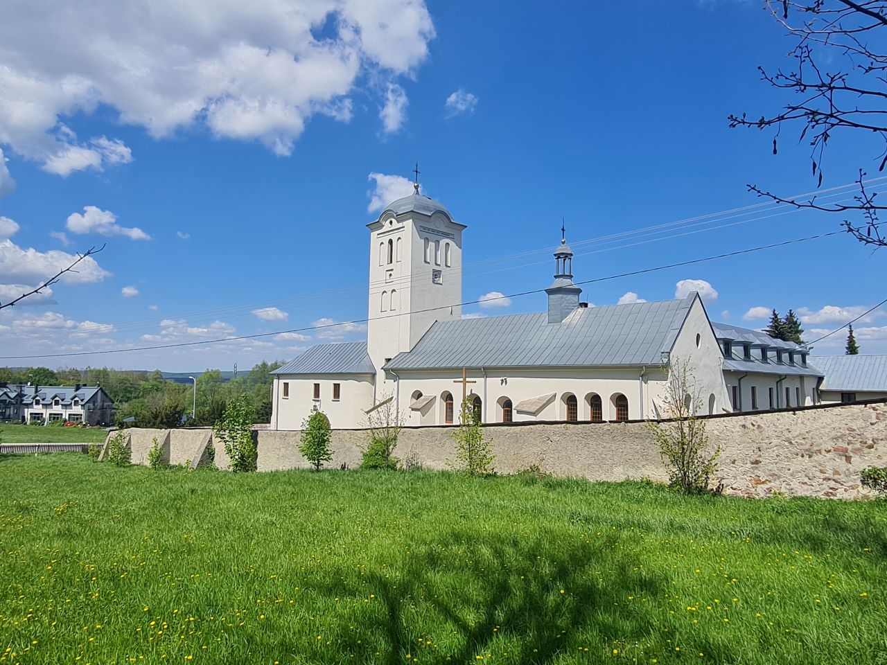
 Święta Katarzyna
  Święta Katarzyna
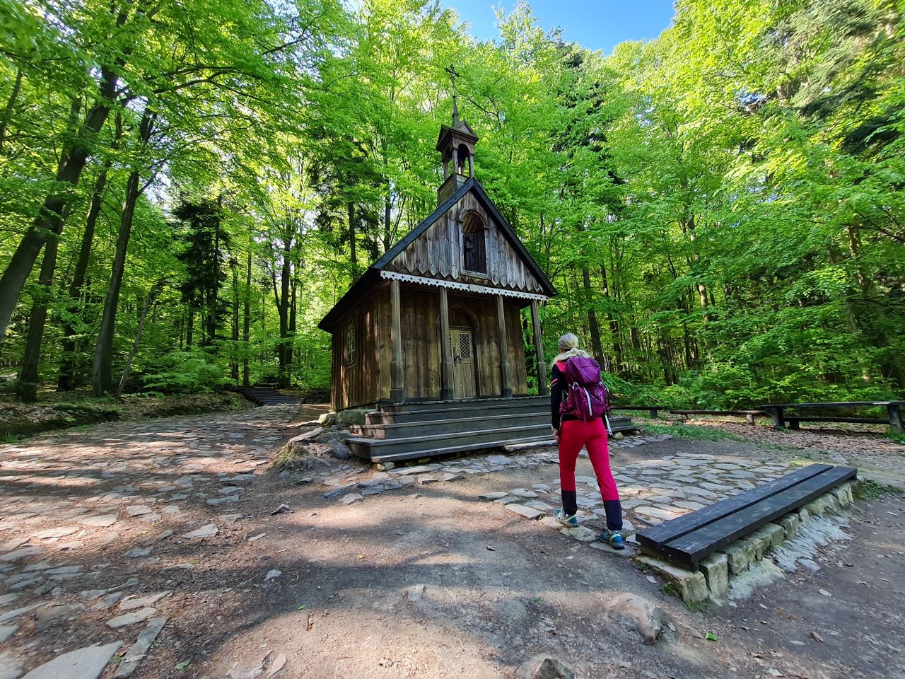
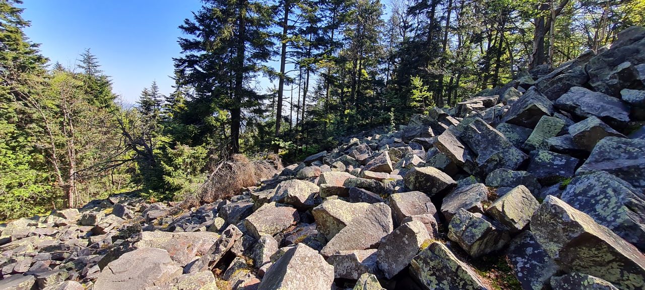
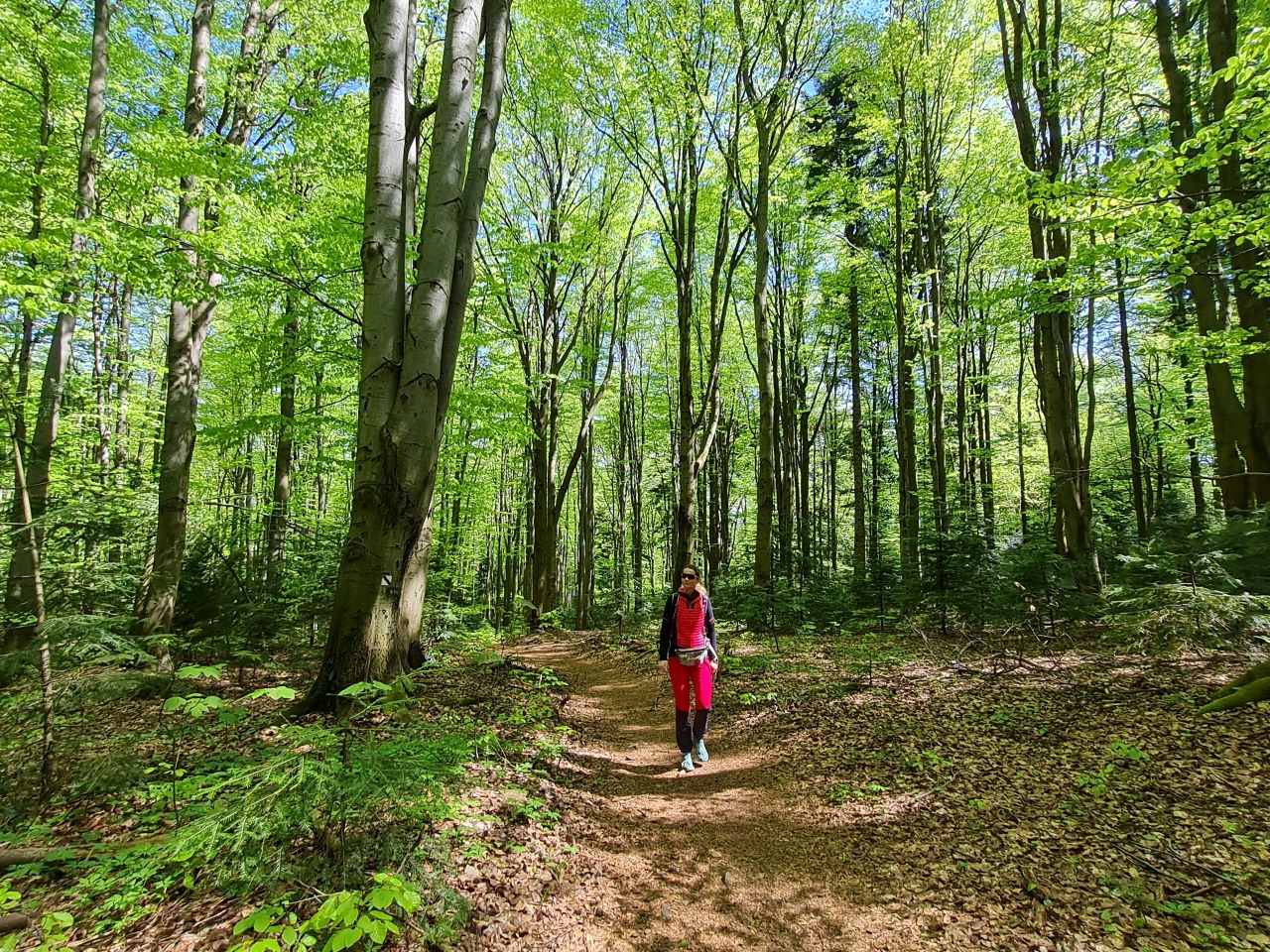
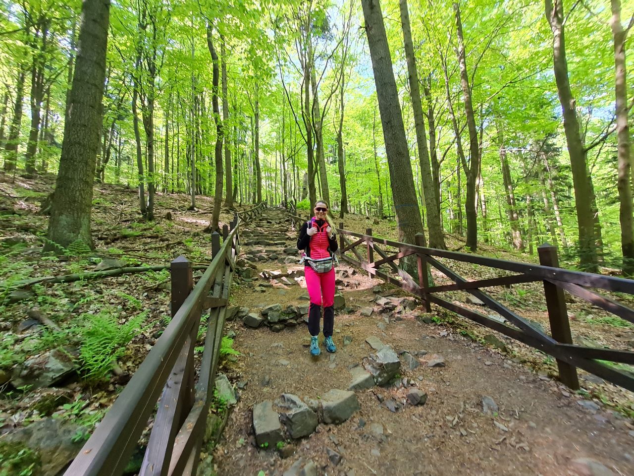
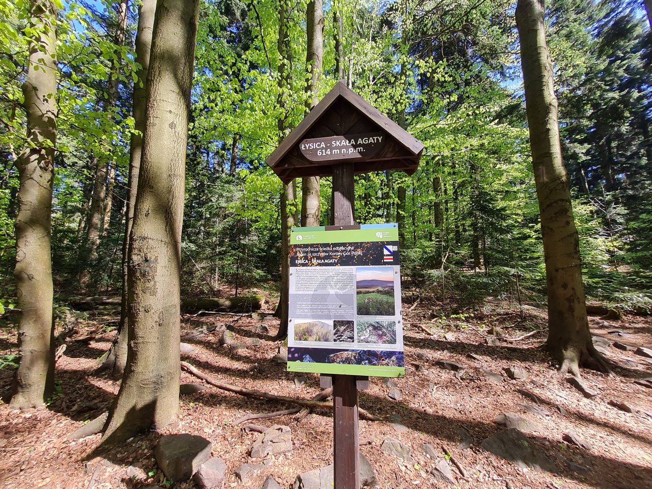
 This is a proposal for a hiking trip to the highest peak of the Świętokrzyskie Mountains, Łysica, through the Świętokrzyskie National Park. The loop-shaped route leads along the ridge of the Łysogóry Mountains, next to the second largest boulder field in the Świętokrzyskie Mountains. Further on, it leads straight to the picturesquely situated chapel of St. Nicholas, and then a newly marked educational path leads tourists to the trace of the former narrow-gauge railway. We return along the former embankment of this railway to Święta Katarzyna, admiring the Świętokrzyskie Forest, which is extremely picturesque and diverse in the park.