Polski
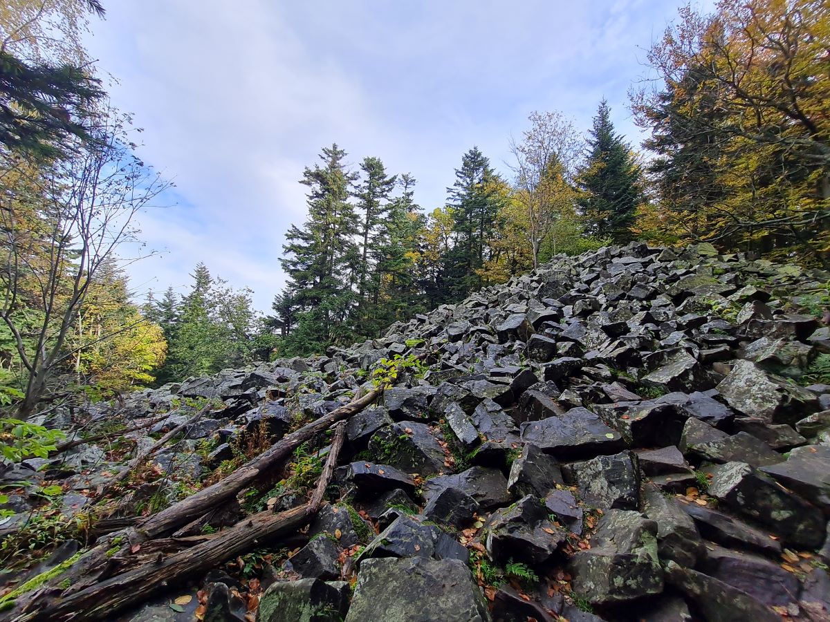
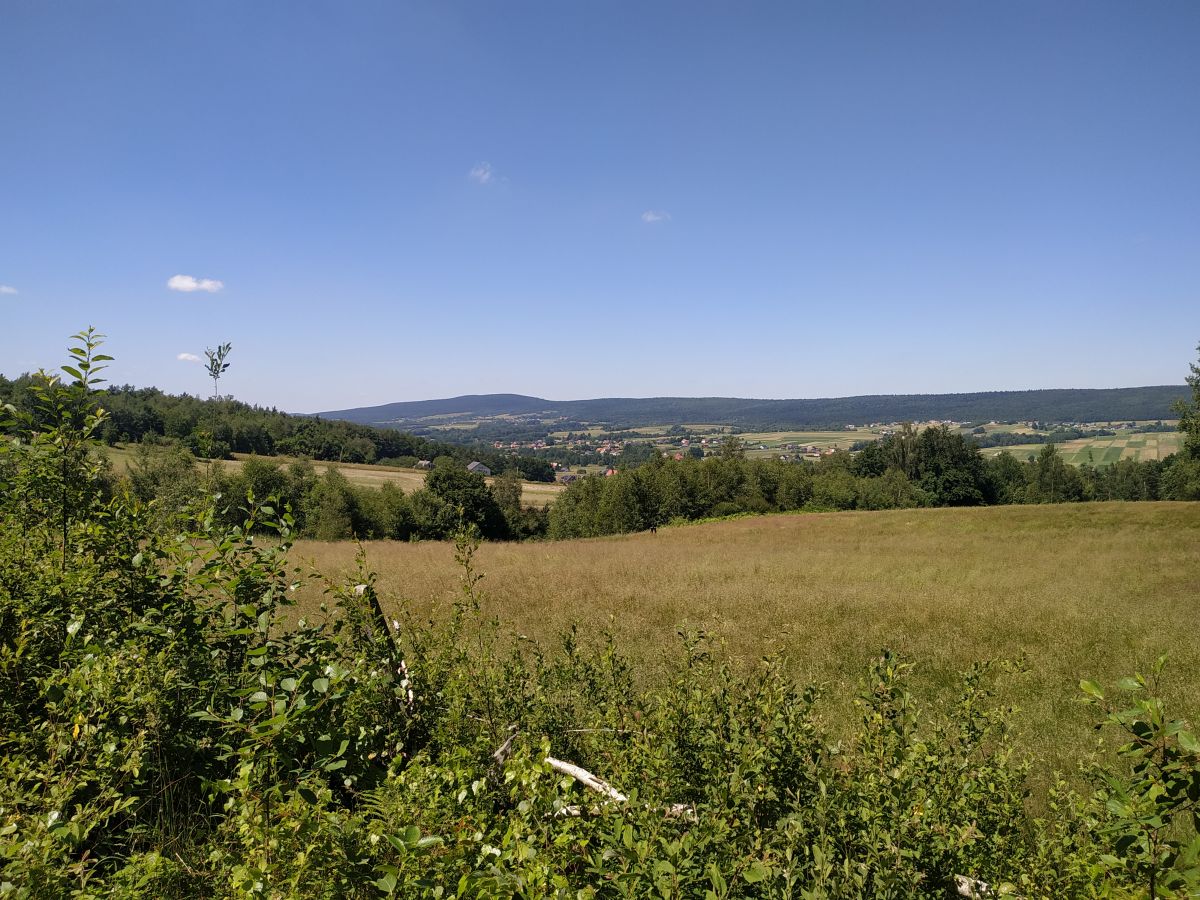
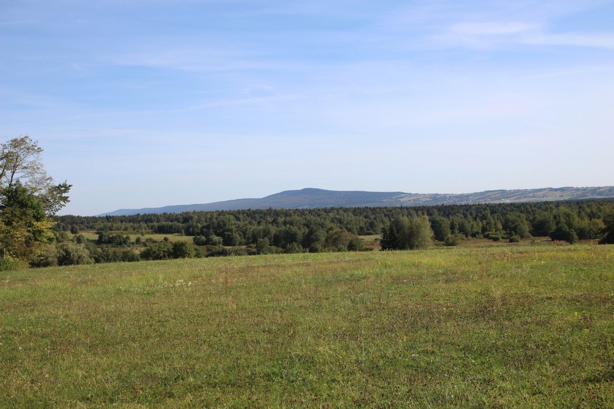
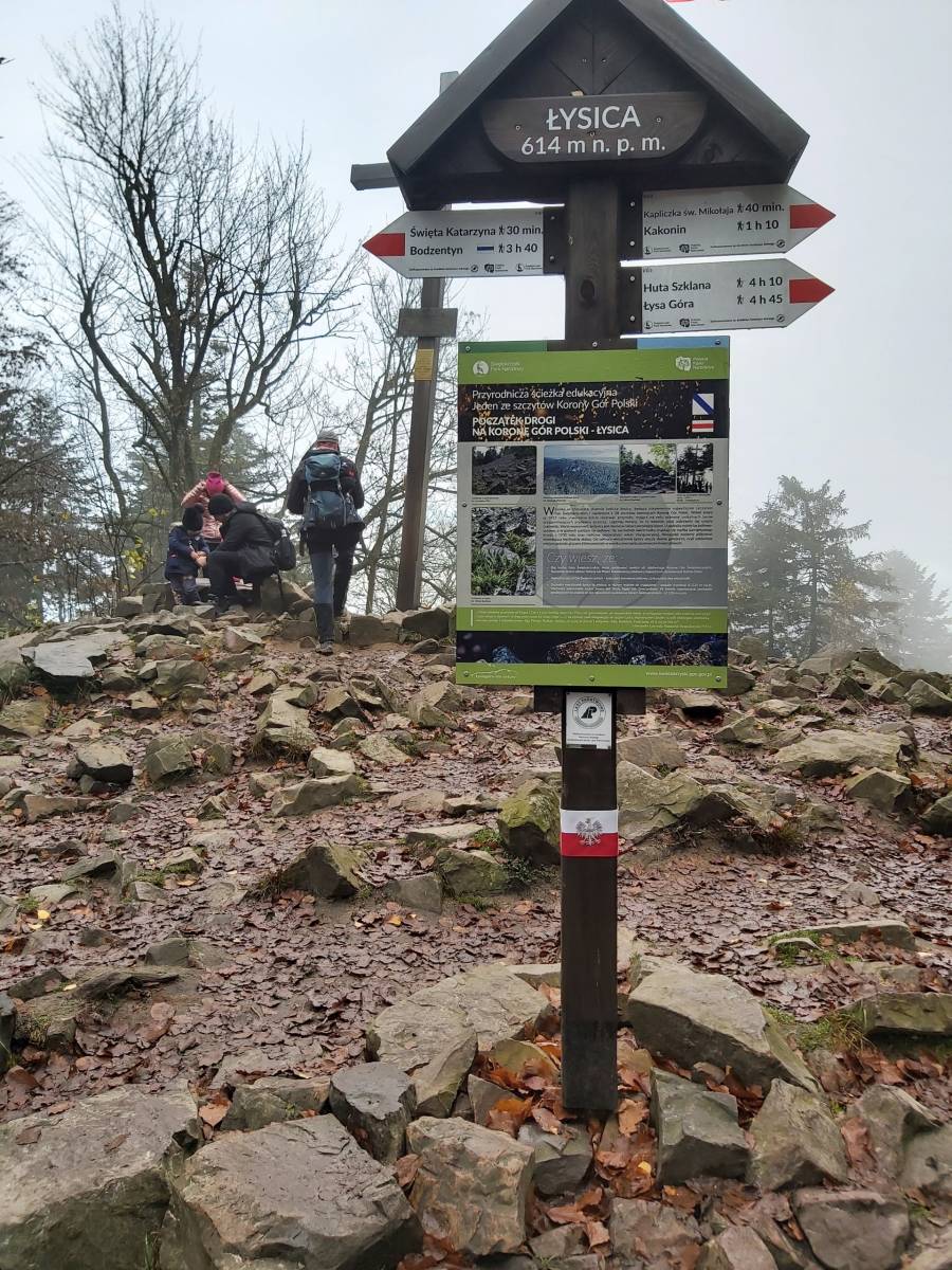
The Świętokrzyskie Mountains are the oldest mountains in Poland, next to the Sudety, with the highest peaks – Łysica (614 m above sea level) and Łysa Góra (595 m above sea level).
The name of the mountains comes from the relics of the Holy Cross Tree kept in the monastery on Łysa Góra. The Świętokrzyskie Mountains form several ranges located parallel to each other. They stretch from west to east, from the Dobrzeszów area to Sandomierz. The core is the so-called "main range", to the west: Dobrzeszowskie Range, Oblęgorskie Range, Tumlinskie Hills, Masłowskie Range, Łysogóry and Jeleniowskie Range.
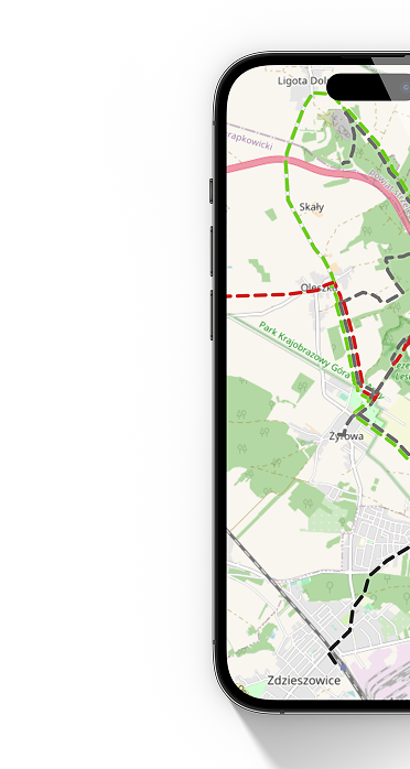
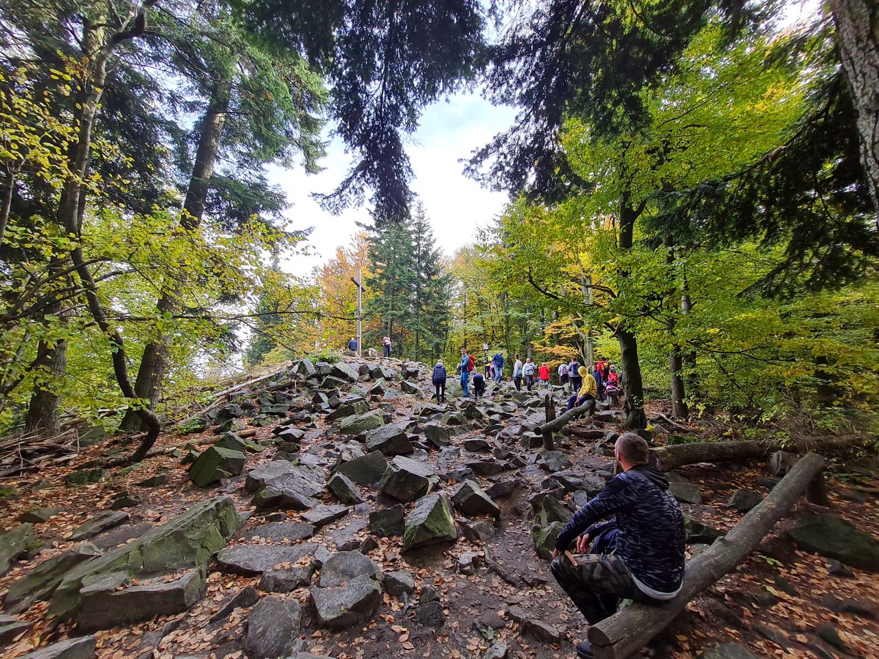
Characteristic for the highest parts of Świętokrzyskie Mountains are steep slopes, cut valleys, and in the lower parts – fir and beech forests. A peculiarity of inanimate nature are the boulder fields, or rock rubble. The largest of them has formed on Łysa Góra and occupies 3.84 ha. The Świętokrzyski National Park was created in the central part of the mountains. Through the area of Świętokrzyskie Mountains runs the main red hiking trail named after Edmund Massalski with a length of 92 km.
The most popular section of the trail and the one most often visited by tourists is the one leading along the Łysogórski Range, from Święta Katarzyna to Nowa Słupia via Łysica, St. Nicholas Pass with a chapel, then to the village of Kakonin with a country cottage from the beginning of the 19th century, Glassworks with a Medieval Settlement, Święty Krzyż with a stone wall, the Świętokrzyski National Park Museum and a monastery and then down the Royal Route to Nowa Słupia.