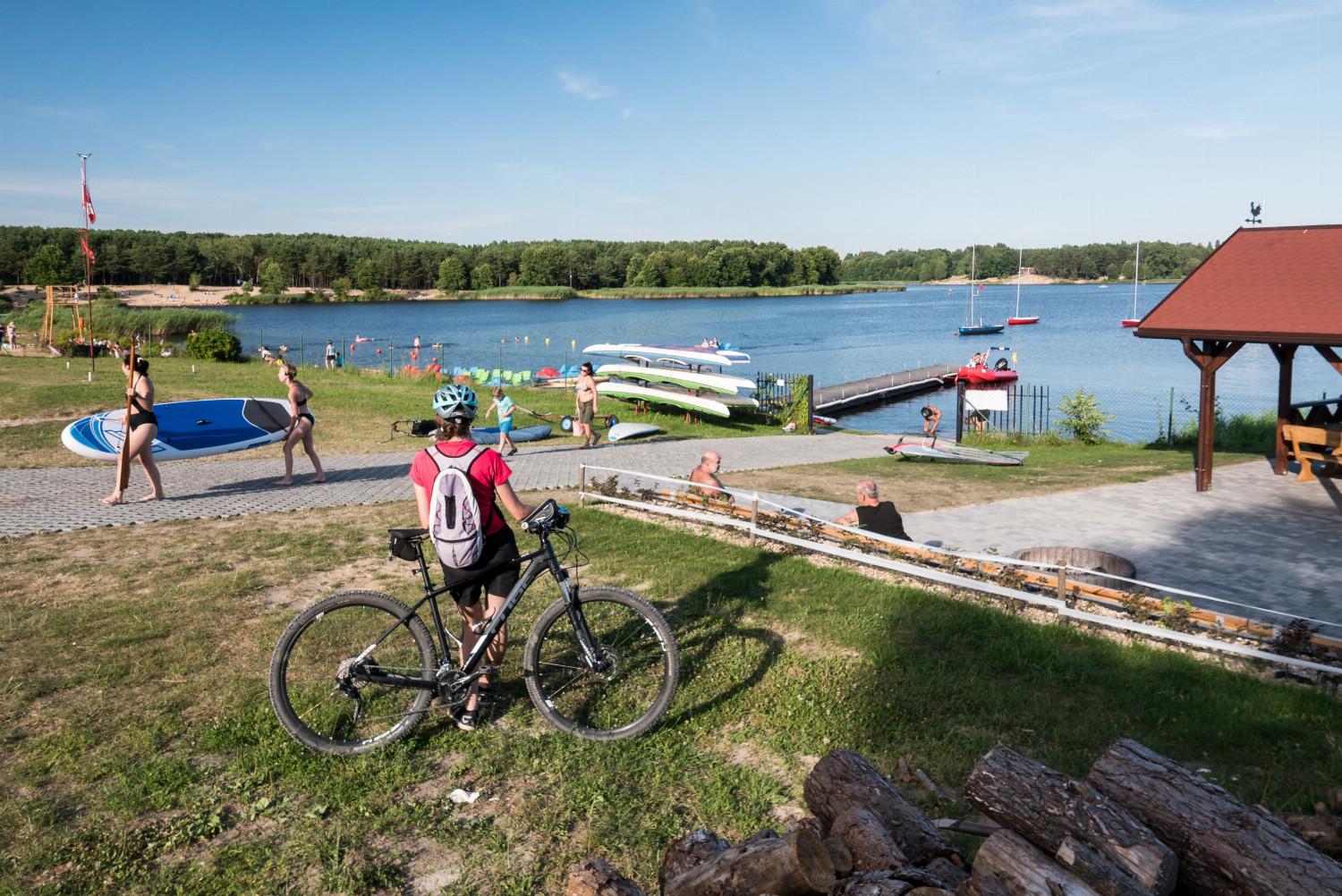
Along the reservoir in Cedzyna

cycling
7,13 km długość
easy poziom trudności
87 m podejścia
86 m zejścia
distance (km) altitude m a.s.l.

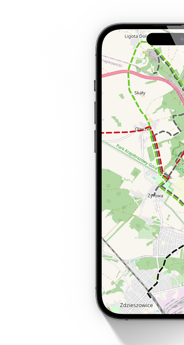
The trail is not marked. In the field, follow the directions on the map in the application. Part of the route runs along a bicycle path along the reservoir.

Get the app

Aplikacja jest praktycznym narzędziem dla nowoczesnego turysty, pozwala na nawigację po szlakach turystycznych.

Aplikacja korzysta z tych samych danych o obiektach i szlakach, które są prezentowane na stronie.

On the trail

Our website uses cookies, incl. for statistical purposes. If you do not want them to be saved on your hard drive, change your browser settings.
More on this...