Polski
distance (km)
altitude m a.s.l.
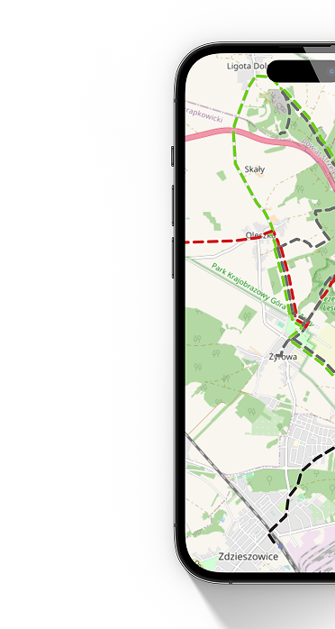
 Wiślica
  Lekszyce
 The trail is not marked in the field. It was mainly routed along separate bicycle paths. In the field, follow the directions on the map in the application.