Polski
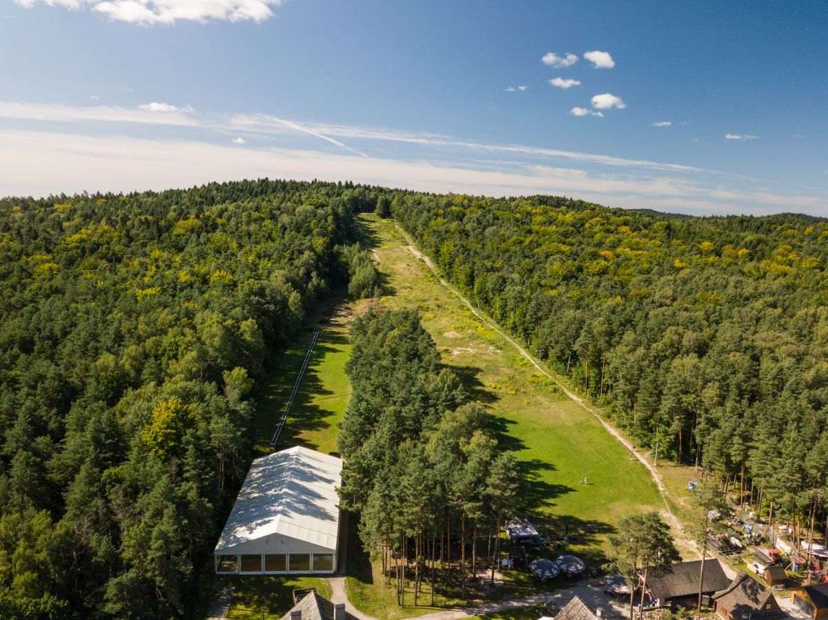
 Kielce Stadion
  Góra Pierścienica
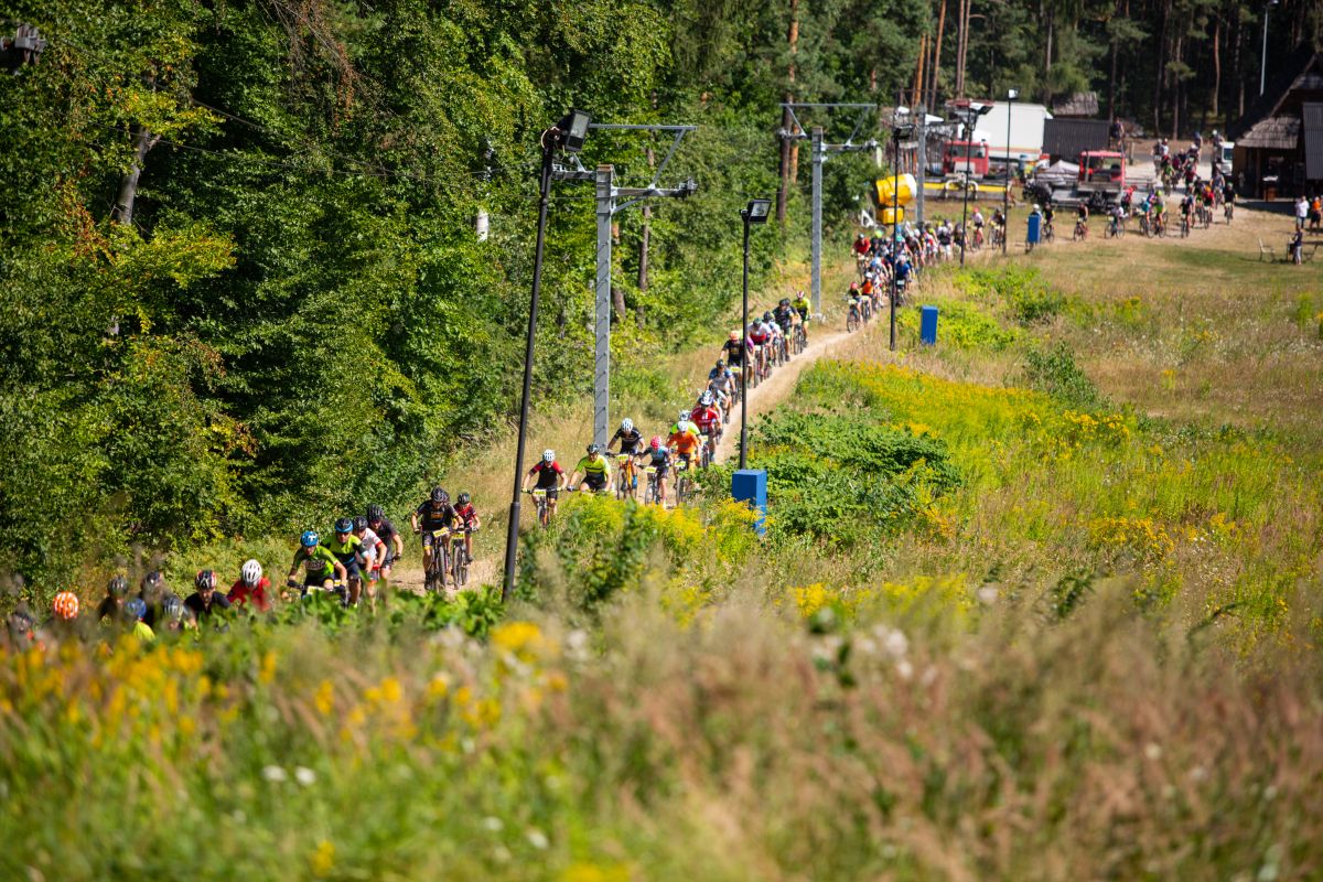
 The black access trail allows you to connect with the blue trail of Chęciny - Łagów. It leads through forest areas intended for recreation and relaxation. Next to the trail there are sports fields, playgrounds, a rope park, a ski (downhill) trail, a walking trail and bicycle routes.
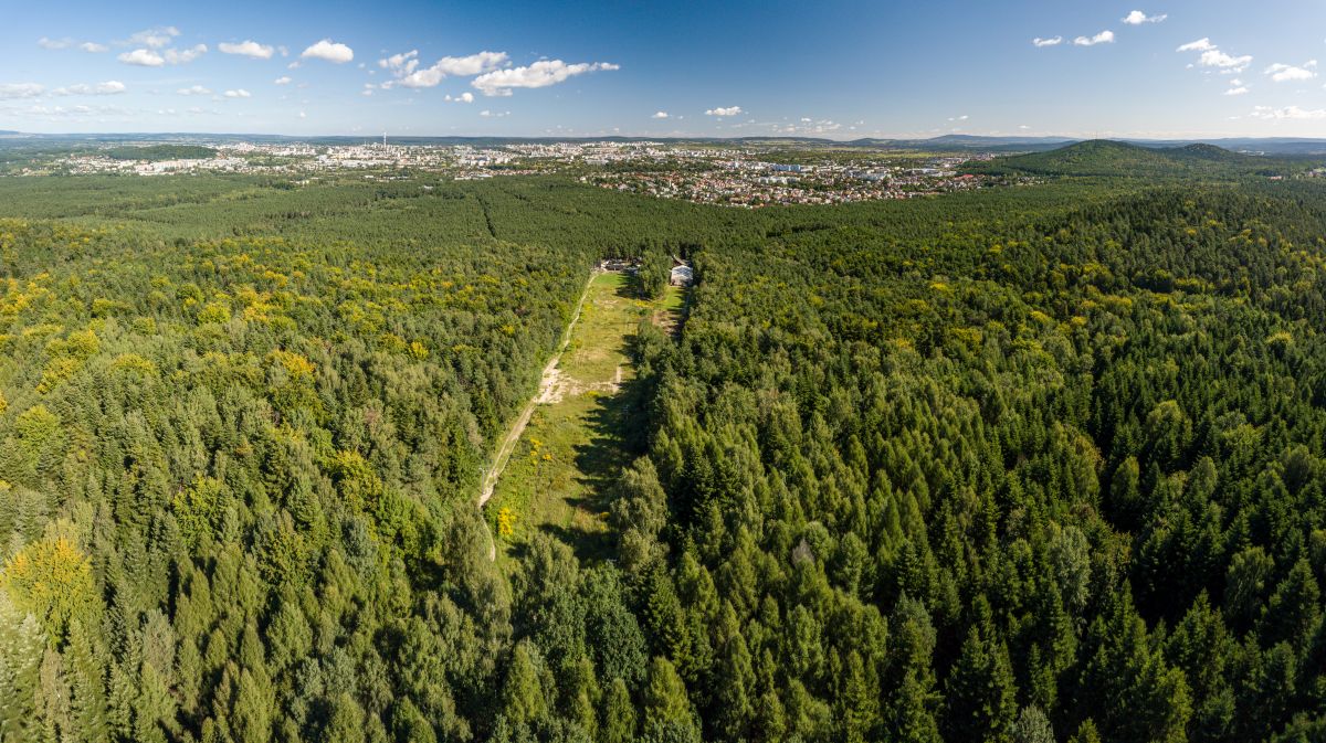
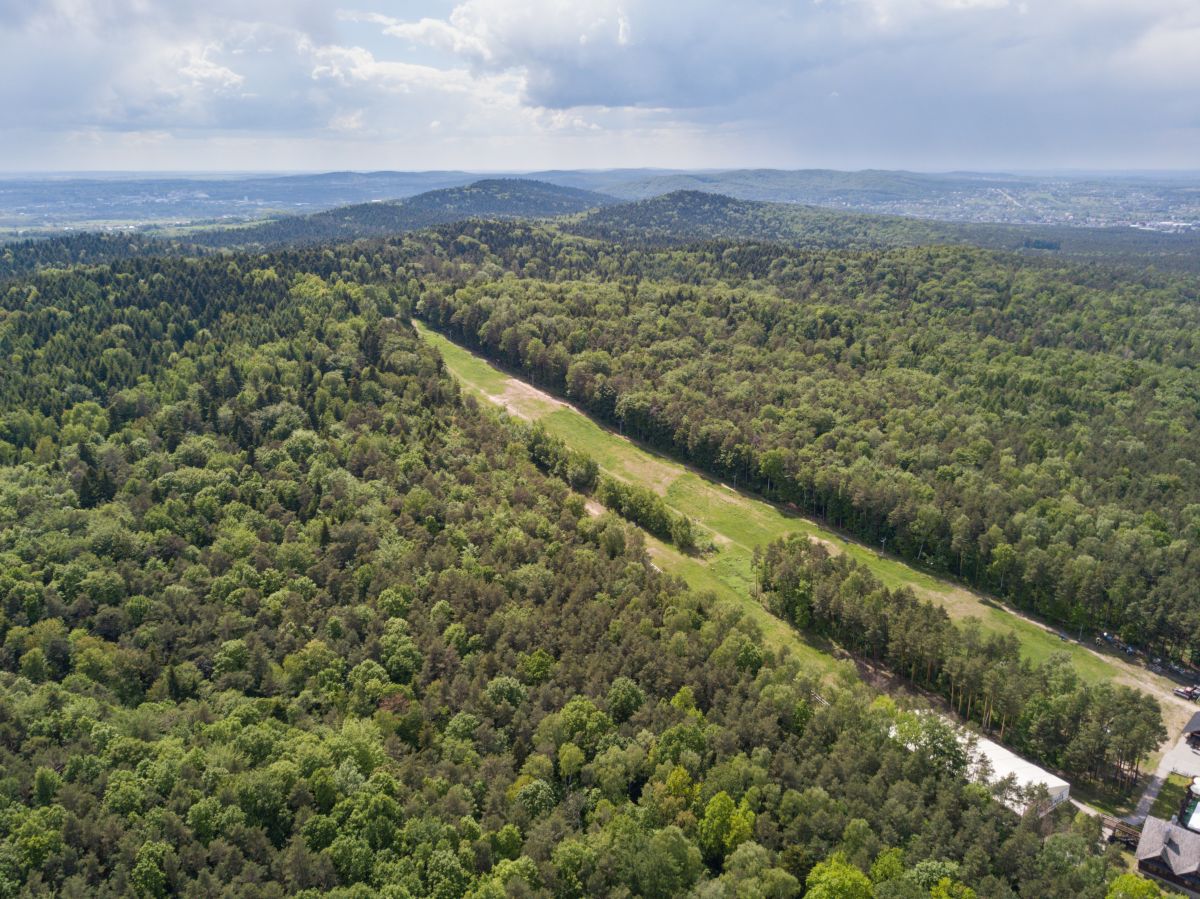
The trail runs through a small part of the Chęcińsko-Kielecki Landscape Park, climbing to the elevation of the Posłowice Range. There is one hill on the route, Mount Pierścienica. From its northern slope, at the end of the trail, there is a beautiful panorama of Kielce and part of the Masłowski Range surrounding the city from the north.
The trail starts next to the MPK Na Stadion Park bus stop at ul. Wojtek Szczepaniak. It ends on the ridge of the Ring, approximately 200 m north of its highest elevation. In the final section, the trail runs together with the blue trail Łagów - Chęciny. Both the beginning and the end of the trail are marked in accordance with the instructions for marking tourist trails of PTTK, i.e. a white dot with a circle whose color corresponds to the color of the trail (black).
Mileage according to most important towns and points on the trail
Kielce ul. Wojtek Szczepaniaka MPK stop Na Stadion Park - Aleja Na Stadion road (Hotel 365) 1.1 km - connection with the blue trail 1.8 km - end of the trail 1.9 km
Trail manager
Świętokrzyskie Branch of PTTK in Kielce
ul. Sienkiewicza 29
25-007 Kielce
www.pttkkielce.pl
biuro@pttkkielce.pl