Polski
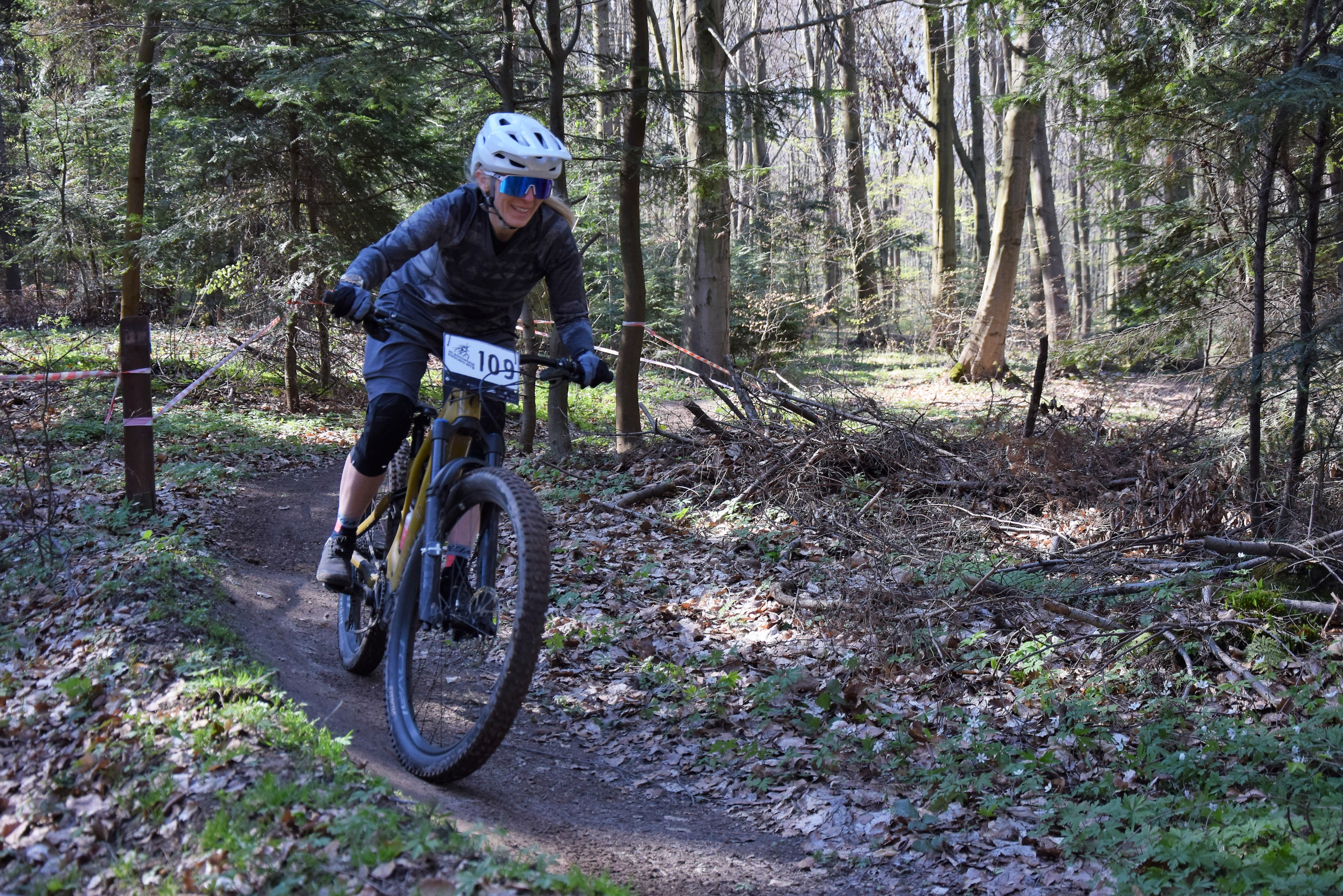
distance (km)
altitude m a.s.l.
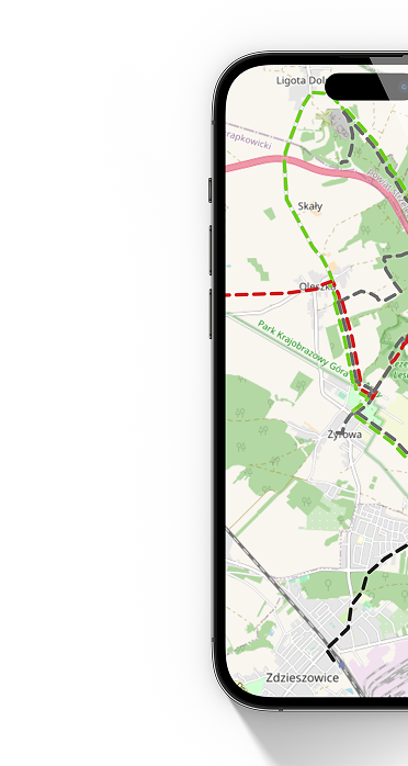
 Strumyk - koniec
  Strumyk - początek
 It's a slightly gentler path than the World. A smaller slope, a large number of boards, a few footbridges and finally drops. There is also a rockgarden section, quite demanding, but with a detour.
More at www.ostrower.pl
Technical description:
Type of route: downhill route
Route length: 1800m
Elevation gain: 176m
Difficulty level: medium
Marking: red
Difficulties on the route: rock gardens, stones, bridges, drops