Polski
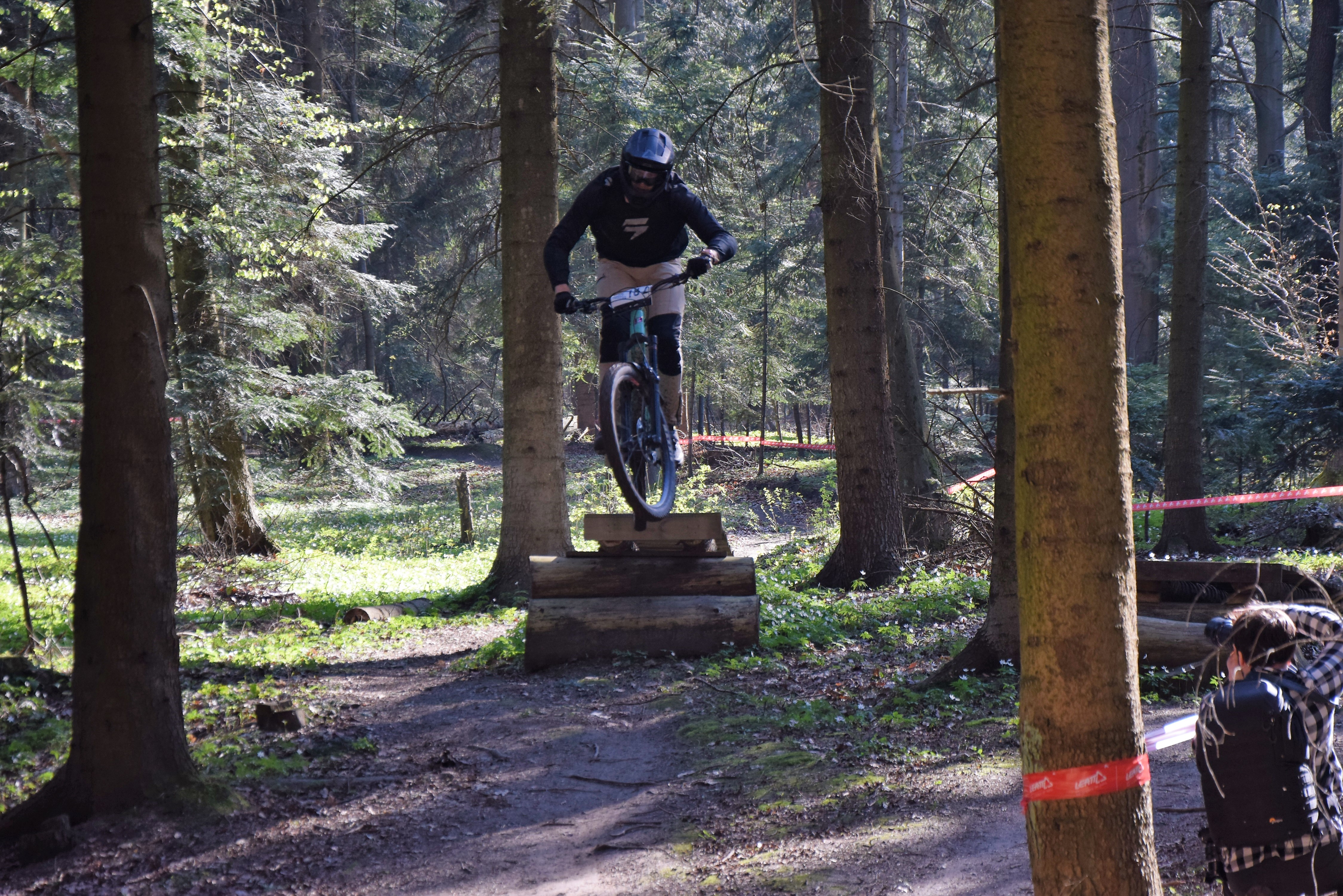
distance (km)
altitude m a.s.l.
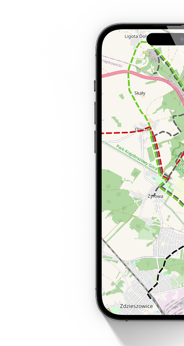
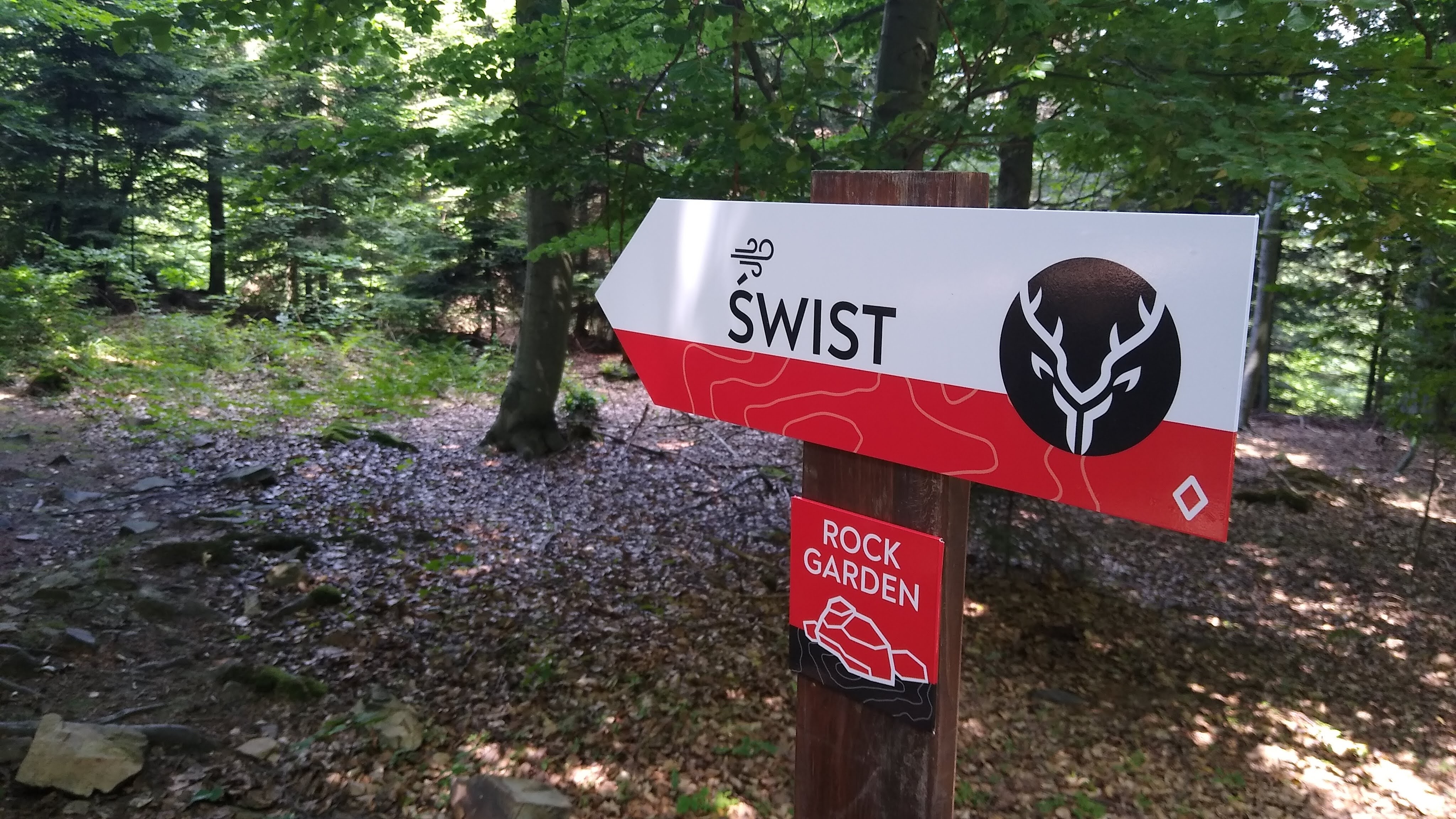
 Świst - początek
  Świst - koniec
 Świsz is a fast, quite difficult route that requires good driving technique. A large number of stones, several steep descents, jumps, drops and rock gardens may surprise you.
Technical description:
Type of route: downhill route
Route length: 2100m
Elevation gain: 183m
Difficulty level: medium, difficult.
Marking: red
Difficulties on the route: a large number of stones, steep descents, footbridges with drops, rock gardens