Polski
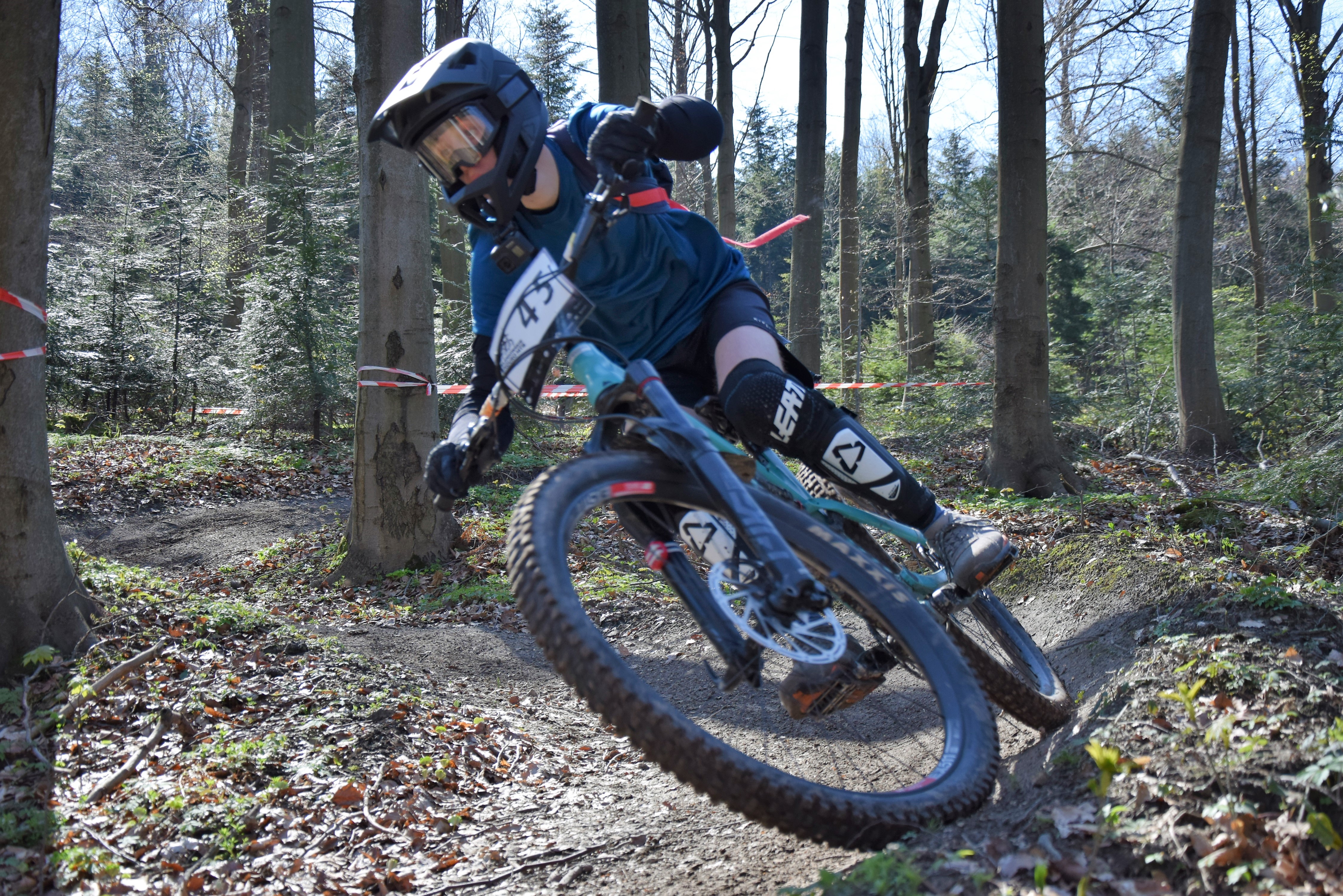
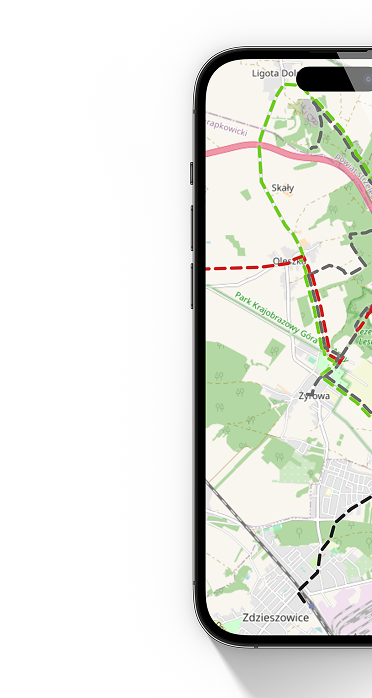
distance (km)
altitude m a.s.l.
 Strumyk - koniec
  Licho - koniec
 The path is quite gentle, perfect for a warm-up. It's not as fast as the others. Everyone should be able to handle it. However, the stones found throughout the paths can give you goosebumps. The route is quite long, but requires access from Chocimowska Mountain. So it also requires fitness while climbing (Strumyk plus the climb to Witosławska g.).
Technical description:
Type of route: downhill route
Route length: 2500m
Elevation: 170m
Difficulty level: easy, medium
Marking: blue
Difficulties on the route: blocks, stones, small jumps.