Polski
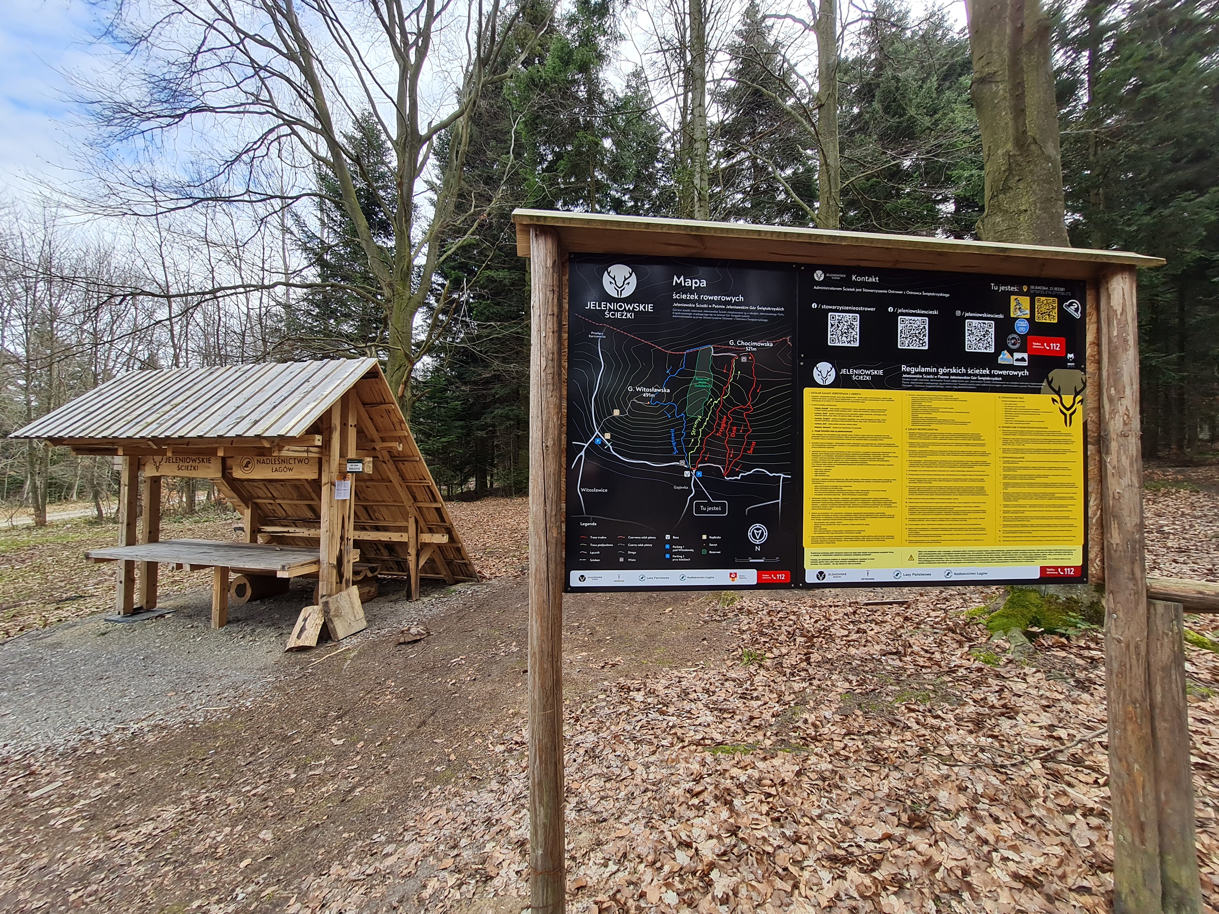
distance (km)
altitude m a.s.l.
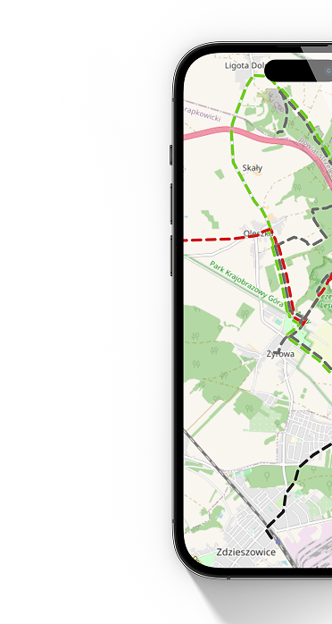
 Strumyk - początek
  Strumyk - koniec
 Uphill route. It winds through the trees with numerous serpentines. The drive up takes about 20-30 minutes. You need to be a bit fit, but the ride itself is really beautiful. It starts from the main parking lot.
Technical description:
Route type: uphill route
Route length: 2300m
Elevation gain: 183m
Difficulty level: easy, medium
Marking: green
Difficulties on the route: steep slope in places, tight switchbacks.