przewiń do treści
Polski
a
a
a
a
Tourist trails of Świętokrzyskie
Toggle navigation
start
trails
wycieczki
places
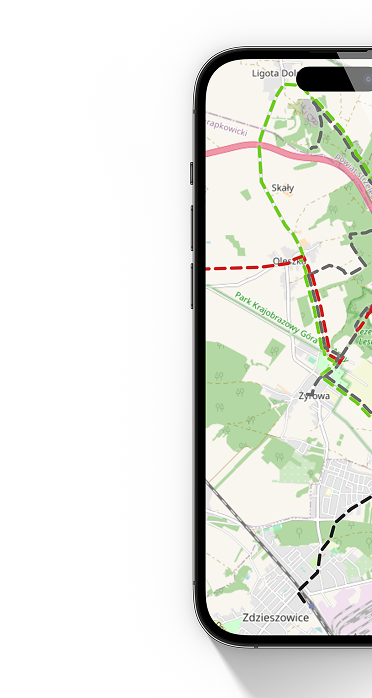
map
mobile app
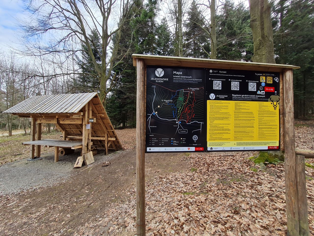
Jeleniowskie Ścieżki - wiata
Tourist infrastructure
/
Other tourist infrastructure
Tourist infrastructure
/
Shelter
50°50'25"N
21°10'59"E
(50.840543, 21.183063)
Calculate the route
See map
more
mniej
Culture
Nature
Terrain points
Tourist infrastructure
Bus station
Other tourist infrastructure
Bench
Bench and table
Map of the trails
Parking lots
Tourist information point
Railway station
Information board
Shelter
Lookout tower
Wyszukaj po frazie
sortuj
Domyślnie
Nazwa ↓
Nazwa ↑
Get the app
Aplikacja jest praktycznym narzędziem dla nowoczesnego turysty, pozwala na nawigację po szlakach turystycznych.
Aplikacja korzysta z tych samych danych o obiektach i szlakach, które są prezentowane na stronie.
This place is on following trails
Through Gołoborze (Time for Forest)
Góra Witosławska - Góra Witosławska
Hiking trip
10,4 km
3:30 h
Zalew Cedzyna - Opatów Rynek
Cycling
81,8 km
Our website uses cookies, incl. for statistical purposes. If you do not want them to be saved on your hard drive, change your browser settings.
More on this...
I accept cookies from this website
 Polski